Picture the map of Britain. Its strangely cadaverous shape, blobs of population and routes between them seem as familiar as our own faces; there is only one definitive map, surely? Not according to Joanne Parker, whose Britannia Obscura aims to tease out less corporeal cartography. Hers are not quite ‘maps of the mind’, for they exist as truly as a crisp new Ordnance Survey, but they are largely out of sight: above us, below us or otherwise in the shadows.
Each of her five chapters takes on a different map: of our cave and canal networks, overhead air routes and patterns of megalithic remains. These four are clearly real enough; the fifth, a map of ley lines, rather less certain. Yet they are all vague to most of us, and that is what interests Parker; like so many cartographers of old, she is hungry to map terra incognita.
Yesterday’s imperial African or Arctic derring-do is today’s hunt for cave systems suspected but yet to be proven, canals long vanished or earth energy lines that may not exist at all.
This desire to find places still metaphorically mapped as ‘Here Be Dragons’ is all the more urgent, Parker says, in today’s minutely measured, exhaustively surveilled Britain. A declared aim of the book is to remind us that the country is far more spacious, layered and interesting than the one ‘we know from road atlases’. It’s a good point, as are her thoughts on whether our east-west divide is greater than the notorious north-south one; the unfailing symbiosis of geology and wealth; and the highly blurred, even artificial, boundary between urban and rural. Boundaries stalk the subject of mapping, and while Parker states that she hopes ‘to argue that there is no one centre, no absolute peripheries, and no objective borders’, her evidence suggests otherwise.
Parker deals playfully with this eternal collision between our sense of adventure and inherent parochialism. She shows, too, how our view of the land, and the maps we use to decipher it, are as subject to the politics and fashion of the moment as are any more ephemeral sides of life. All resistance was swept aside in the heady excitement of the canal builders and pioneer aviators, while the 18th-century embellishment of all things druidic was as much about forging a shared heritage for the newly-minted Union as it was about any stones or tumps. Alfred Watkins’s ‘discovery’ of ley lines in the 1920s precisely chimed with the Merrie England nostalgia of a country reeling from the first world war. His idea’s latterday resurgence owes much to a double nostalgia, for Watkins’s era as much as the misty past, for both Merrie England and Downton Abbey.
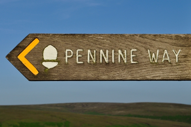
Like many of us drawn to write about maps, Parker comes not from a geographical background. She is a university lecturer in English, specialising in Victorian literature. It shows: melodrama lurks and sometimes tips over into the decidedly overblown. In three paragraphs, she calls Hereford ‘the Canterbury or perhaps the Iona on the ley-hunter’s map’; posits that various leys in Oxford, London and Yorkshire ‘have become the Pennine Way, the Lyke Wake Walk and the West Highland Way of the ley hunter’s Britain’; and that the famous StMichael Line from Cornwall to Norfolk is — inevitably — ‘the M1 of the ley-hunter’s map’. There are rare occasional howlers too: considering her academic specialism, it’s startling to read that the public reaction to a death in 1775 displayed a ‘typically Victorian taste for the macabre’.
If that seems unnecessarily picky, it is meant as a comradely warning to my
cartophilic namesake, for — believe me —there will be letters, quite possibly hundreds of them. The British love of maps goes hand-in-driving-glove with our penchant for pedantry, and both are in full-throated song these days. Ten years ago, map-love was a quiet hobby, practised largely solo. Now it’s everywhere, not just on our phones and computers, but on TV and radio, on the walls of our galleries, in the design of everything from coasters to clothes and in books galore too. The digital revolution has fuelled this, just as it has helped us interpret the inherent subjectivity of all cartography. Joanne
Parker’s slender, thoughtful contribution takes that as its starting point, and heads for the hills.


Comments